New GEOSHARE AgMIP Tool Aggregates GGCMI Outputs
Apr 11, 2014
By: Nelson B. Villoria
A GEOSHARE Tool for aggregating projected crop yields from AgMIP’s Global Gridded Crop Model Intercomparison Project
As part of the Agricultural Model Intercomparison and Improvement Project (AgMIP), the Global Gridded Crop Model Intercomparison group helped to coordinate a fast-track multi-model multi-sector climate impact assessment as part of the Inter-Sectoral Impacts Model Intercomparison Project (ISI-MIP). AgMIP led the intercomparisons of gridded crop and agricultural economic models.
(For details refer to Rosenzweig et al. (2014), Elliott et al. (2014), and Nelson et al. (2014) all available here and to Muller and Robertson (2014) available here).
The output archive comprises time series (1971-2099) generated by five crop models (EPIC, GEPIC, pDSSAT, LPJmL, IMAGE-AEZ), with two more to be added in the near future (PEGASUS and LPJ-GUESS), under a number of temperature trajectories from a suite of five global climate models (HadGEM2-ES, IPSL-CMSA-LR, MIROC-EXM-CHEM, GFDL-ESM2M, NorESM1-M) and five representative concentration pathways. The output of this modeling endeavor consists of more than 36,000 global grids (with spatial resolution of 0.5 x 0.5) freely available to the public using the transfer services from Globus Online.
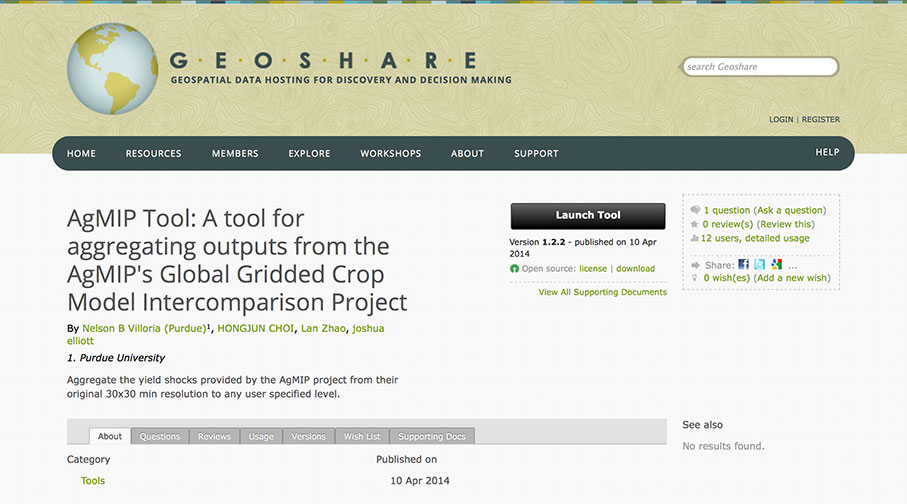
While public access ensures these important data can be used by many interested parties, access of the native formats as well as the software skills needed for pre-processing of these data can in practice represent an important barrier for exploiting this information. In order to facilitate access to the AgMIP gridded archive, the GEOSHARE group have just released the AgMIP Tool which aggregates these outputs to country, country-AEZ, or any user-defined level. The tool is freely available at https://mygeohub.org/resources/agmip (registration in the GEOSHARE website is required.)